
Walk a North Liberty Street
The strongest street-by-street method joins the physical address to a parcel ID and legal description. Those keys travel between Johnson County systems better than a person name alone. Keep the situs address, which is the physical site, separate from the tax mailing address. Save the date and source beside each name.
- Enter the exact house number and suffix in the Johnson County Assessor search. Record the parcel ID, owner as listed, situs address, and legal description.
- Open the county Parcel Information Viewer. Locate the same parcel and click nearby parcel shapes one at a time.
- Use parcel ID, subdivision, lot, block, or owner in Recorder eSearch. Read the deed image and note both recorded parties.
- Search North Liberty permits by address or parcel. Treat an applicant as a permit fact, not proof of residence.
- For an older household, check criss-cross directories and phonebooks. Voter data is not a public street-browse tool.
This North Liberty street directory method keeps ownership, title transfers, map context, and permits in their proper lanes. Two dated records should agree before a name is tied to an address.
North Liberty Street Search Fields
The Johnson County Assessor links to Schneider Beacon. Beacon advertises name, address, and parcel-number search. Advanced controls were blocked during research, so capture other fields only when a live card displays them.
| Field | Street use | Limit |
|---|---|---|
| Name | Find a parcel under the recorded owner | Common names return several parcels |
| Address | Start a North Liberty by-address search | Try suffix and directional variants |
| Parcel number | Carry the parcel into GIS, deeds, and permits | Copy every digit |
| Situs and mailing | Separate site from tax-notice destination | Mailing address does not prove residence |
| Legal description | Bridge road-name changes | Record the exact lot, block, or township text |
If Beacon does not load, use the county's property information files or contact the office. Check the file date and headings before treating a row as current.
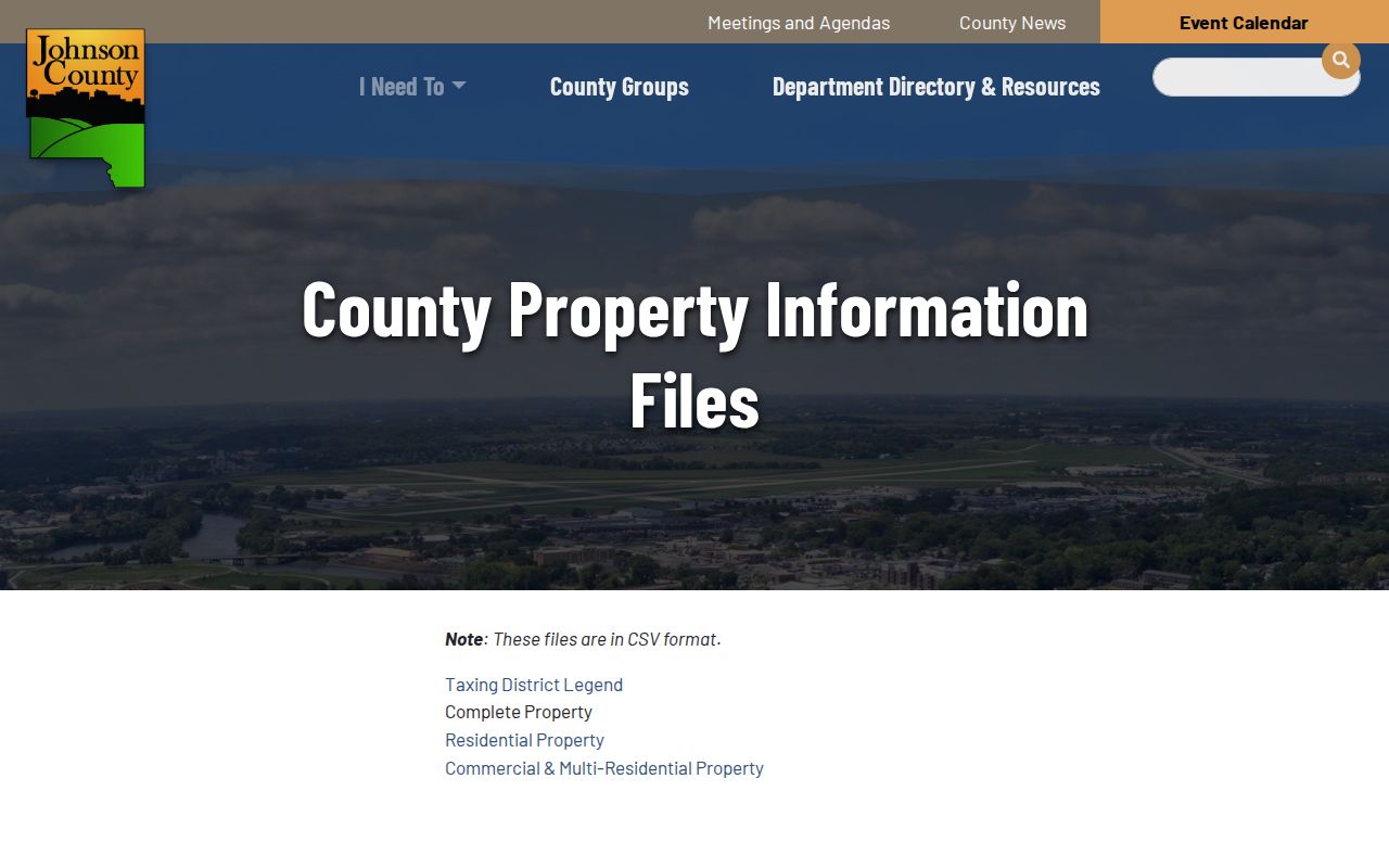
The captured page identifies complete, residential, and commercial downloads as the official fallback.
Map North Liberty Streets in GIS
The Johnson County Parcel Information Viewer supplies the map layer a text street directory lacks. Official descriptions list aerial photography, land records, flood hazards, elevations, voting, and zoning. The planning viewer adds future land use, fringe areas, floodplains, and wetlands. Zoom to the road, select the subject parcel, and inspect adjacent shapes.
A map polygon is not a deed. It may be a road tract, park, school, drainage parcel, or city-owned land. Follow the parcel ID to the Assessor or Recorder before attaching a name. The ArcGIS layer called “Zip Codes (unofficial)” adds context but cannot settle USPS delivery or city limits.
This matters where North Liberty growth turned rural land into subdivisions. Maps show how parcels meet; plats and deeds show the legal basis for those lines.
North Liberty Records by Street
No office keeps a full household roster. Each address record answers a narrower question and needs a fallback when its portal fails.
| Record | Keeper | Evidence | Access |
|---|---|---|---|
| Property roll | County Assessor | Owner, parcel, class, value | Beacon, data files, office |
| Parcel map | County GIS/PDS | Shape and land-use context | PIV or planning viewer |
| Deeds and plats | County Recorder | Parties, transfers, legal text | eSearch, office, microfilm |
| City permits | North Liberty | Parcel, applicant, work, status | IworQ or Clerk request |
| Old directories | ICPL, LOC, JCHS | Subscriber or occupant clues | Library, digital copy, appointment |
The official voter-status form requires a name, ZIP, house number, and birth date. It cannot browse everyone on a street. Johnson County list requests are limited by Iowa Code sections 48A.38 and 48A.39 to allowed political, official, or bona fide political research uses.
North Liberty Permit Address Trail
The North Liberty permit search accepts permit number, address, parcel, owner, applicant, work description, status, and related date fields. Results can list the permit number, date, parcel address, work type, and viewing or inspection controls.
Permits can date a remodel, addition, pool, sign, or trade inspection. An applicant may be a contractor. The owner field reflects the permit record, not a resident roll. The portal showed 2026 records, but its oldest coverage date was not stated. Request older files from the City Clerk or Planning, Building and Development with an address, parcel, permit type, and date range.
The official portal image shows the live search surface.
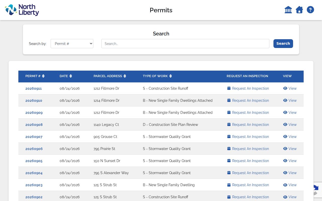
Use the displayed permit number to request the underlying public record when the summary is too thin.
North Liberty Deeds Along Streets
The Recorder real-estate search joins an address to title history. Begin with parcel and legal description. Search the owner, parcel mode, or subdivision name. Open the image because the result list may not settle party direction or parcel identity.
Images begin January 1840, while online indexing begins November 1983. Earlier deeds require Recorder books or microfilm, JCHS deed books, or State Historical Society groups. Releases and assignments before May 5, 2003 are not always linked, so search names separately.
- Parcel
- A legally assessed piece of land with a county number.
- Situs address
- The physical site, distinct from the owner's mailing address.
- Plat
- A recorded map dividing land into lots, blocks, roads, or tracts.
- Criss-cross directory
- A directory arranged by address or phone rather than surname.
Recorder guidance says to search only the subdivision name and try forms such as Part 5, Part Five, and Part V. That small change can recover a missed deed.
North Liberty Road Name Clues
Ranshaw Way is an honorary Highway 965 name. The 2016 action did not change postal addresses. A record may still say Highway 965, Coral Ridge Avenue, or Ranshaw Way. Search the relevant labels, then use parcel and legal description to prove continuity.
The 2018 North Liberty Road realignment and corporate-boundary resolution adds another trap. Current pavement can cross land once described by a rural alignment or county boundary. Deed book and page references bridge the geometry. North Liberty also has a planning fringe, so a planning layer does not prove the parcel sits in city limits.
The county road map and Street Location Guide provide an official spelling check.
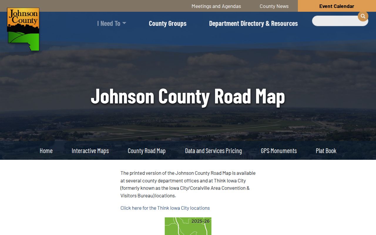
Let the map guide the next query, while the deed supplies title evidence.
North Liberty Address Types Differ
A situs address, tax mailing address, and rural E911 address serve different jobs. Johnson County assigns rural E911 numbers outside incorporated city addressing. Its quadrant and even-odd rules should not be applied to every North Liberty house. A tax mailing address may point to a trust, firm, representative, or another town.
The county rural E911 page documents request fields, timing, quadrant rules, and sign care.
Use that channel only for a county rural parcel, and keep its assigned number separate from postal and tax fields.
Note: A North Liberty mailing city does not, by itself, prove that the parcel is inside the municipal boundary.
Older North Liberty Street Directories
Iowa City Public Library reports phonebooks from 1925 to the present. Library of Congress guidance lists Iowa City and vicinity criss-cross editions for 1979, 1980, and 1987. Confirm a North Liberty road appears in the volume before naming an occupant.
North Liberty incorporated in 1913. Earlier records may use Liberty Township, rural Johnson County, section-township-range text, or a neighboring locality. Historical Society atlases and farm directories can bridge that rural era. The collection detail belongs in the North Liberty directory book. Here, search the address, record the precise subscriber label, then test it against a deed or census.
No official source established a standalone North Liberty directory run. Inspect countywide and “Iowa City & vicinity” volumes one by one.
North Liberty Street Directory Limits
Parcel data can show an owner. A deed shows recorded parties. A permit names an applicant, and a directory lists a subscriber. None proves every person at the address. The street directory cannot provide DMV addresses, utility customer data, sealed cases, confidential juvenile or adoption material, or private association rolls.
Safe at Home may remove an eligible participant from the public voter system, while Iowa Code section 9E.5 excludes real-property documents from that protection. A missing voter result does not erase a deed, and a deed does not establish a protected person's present location.
Accuracy also changes with time. An assessment card may reflect a valuation cycle, a permit may remain open after work stops, and a directory may have been set in type before a family moved. Record dates should be compared, not blended. If a result conflicts, return to the legal description and instrument image. The office copy is stronger than a search snippet, and a certified record may be needed for a formal property or estate matter.
North Liberty code cases do not have a separate public search in the research. Ask the City Clerk or planning staff for a narrow address-and-date search under Iowa Chapter 22. Good Neighbor meeting notices can document a proposed project and nearby mailed notice, but they are not proof that each recipient occupied the neighboring parcel.
Lawful use. Use North Liberty address records for personal research, family or property history, civic review, and fraud prevention. Never use them to stalk, harass, intimidate, or harm anyone.
Verify every dated fact with its custodian and preserve the role shown: owner, recipient, applicant, subscriber, or registered voter.