
North Liberty ZIP Coverage
The official Iowa Department of Public Safety technical table identifies 52317 as the standard North Liberty ZIP in Johnson County. No second standard code, North Liberty PO-box-only code, unique-facility code, or documented split year was found in the official sources reviewed. That narrow result matters. A ZIP code directory should state what is known without inventing extra zones or claiming that the postal boundary is the same as the city.
| ZIP | Area supported | Post-office field | Use note |
|---|---|---|---|
| 52317 | North Liberty, Johnson County in the Iowa DPS table | North Liberty city name; station details require a current USPS check | Standard code; exact delivery boundary is address-specific |
Nearby official values include Oxford 52322 and Solon 52333, but the state table did not establish a North Liberty split or shared second code. Use them only when an actual Johnson County address points to a nearby place. City-fringe parcels, rural roads, new subdivisions, and Coralville or Iowa City edges need live postal and parcel checks.
Verify a North Liberty ZIP
The USPS ZIP Code Lookup is the postal authority for a delivery label. It offers three modes. “By Address” standardizes a street address. “By City and State” returns ZIPs tied to a place name. “Cities by ZIP” lists place names associated with a code. Only the address mode answers which code USPS assigns to one delivery point.
| USPS mode | Input | Result | What it cannot prove |
|---|---|---|---|
| By Address | Street plus city/state or street plus ZIP | Standard delivery address | Municipal residency or parcel ownership |
| By City and State | City and state | Associated ZIP list | Coverage of a particular street |
| Cities by ZIP | Five-digit ZIP | Associated place names | Legal city boundaries |
Open the official USPS address, city, and ZIP search modes.
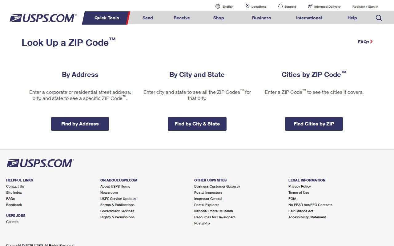
The captured form shows why the search mode must be recorded with the result. A city query and an address query answer different questions.
Find North Liberty Residents by ZIP
ZIP granularity can narrow an official search, but it does not create a full household roll. Begin with the postal answer, then choose a system based on the fact being checked. The voter form is a targeted status tool. The professional-license search can filter by city, state, and ZIP. Property systems work best from an address or parcel number.
- Run the full street address through USPS and save the standardized wording, search date, and input string.
- Check the Johnson County Assessor or GIS parcel viewer with the exact address. Record the parcel ID, physical address, and owner mailing address as separate fields.
- For an individual checking their own registration, use the Iowa voter form with the required name, house number, ZIP, and birth date.
- For a license question, use the state professional-license search's city, state, and ZIP fields, then confirm status and board.
- Once the area narrows to one road, use the North Liberty street directory workflow rather than treating the whole ZIP as one neighborhood.
A match is evidence for the field searched. It may show delivery geography, a parcel, an entered voter's status, or a license address. None is a complete list of people living at the site.
The assessor's public page advertises searches by name, address, and parcel number, but the advanced field inventory could not be captured during research. Do not promise a ZIP-wide assessor filter. If the web card is blocked, Johnson County publishes complete, residential, and commercial property-information files plus a taxing-district legend. Check the current download and its field definitions before filtering. The county Assessor can also answer by phone or in person, while the GIS parcel viewer supplies the map context.
The Iowa professional-license portal does expose City, State, and Zip fields. Its results can show a license number, type, status, and license address, depending on the board. That address is tied to a credential record. It is not proof of present residence. Search with fewer fields when the exact spelling is uncertain, then confirm the board and status on the returned record.
North Liberty ZIP Voter Fields
The Iowa “Am I Registered to Vote” tool requires six inputs. Its result concerns registration and polling-place information, not a public ZIP-wide download and not ballot choices. County auditors supply the underlying data, and the official notice advises checking again before each election because polling places can change.
| Field | Type | Required | Format note |
|---|---|---|---|
| First name | Text | Yes | Individual being checked |
| Last name | Text | Yes | Use current registration spelling |
| ZIP | Numeric | Yes | Entered address code |
| House number | Numeric | Yes | Number only |
| Birth month/day/year | Date selectors | Yes | All three parts required |
A public voter list or profile requires a request to the Johnson County Auditor, charges, and a lawful purpose certification. Iowa Code sections 48A.38–48A.39 restrict those files to political, official, or bona fide political research purposes and prohibit commercial use. Do not harvest a list to build a resident roster.
North Liberty ZIP Versus Limits
Postal geography routes mail. North Liberty city limits define municipal jurisdiction. Johnson County parcel lines identify land, while a legal description identifies the recorded tract. These shapes can overlap without matching. The county's map service labels its ZIP layer “unofficial,” which makes it useful for visual comparison but not for deciding how USPS should address a letter.
Inspect the Johnson County administrative map service and its explicitly unofficial ZIP layer.
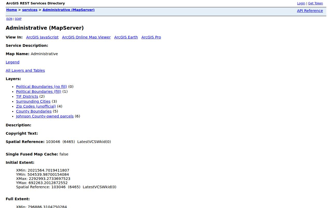
The service also contains political boundaries, surrounding cities, the county boundary, and county-owned parcels. Compare layers, then confirm postal facts through USPS and parcel jurisdiction through the county or city.
- ZIP+4
- An added four digits that narrow a delivery segment. It is not a city district.
- PO-box ZIP
- A code used only for post-office boxes. None specific to North Liberty was located.
- Unique ZIP
- A code assigned to one high-volume organization. None was found for North Liberty.
- Carrier route
- A delivery sequence used by USPS. It does not define ownership or residency.
One North Liberty ZIP, Many Maps
A single address can sit inside several record geographies. The physical parcel has a situs address. The tax owner may receive mail elsewhere. The deed uses a legal description. USPS supplies a delivery label. School and polling tools add district context. Rural Johnson County also assigns E911 addresses for emergency response. Keep each value in its own column.
| Postal ZIP | USPS delivery standardization; verify live. |
|---|---|
| City boundary | North Liberty jurisdiction and annexation context. |
| Parcel | Assessor and GIS physical land record. |
| E911 address | County emergency-location assignment for rural property. |
| School or precinct | District or election geography, not a ZIP boundary. |
North Liberty precincts and Newport's non-contiguous city portion show why political lines can split or overlap municipal space. County school and polling-place finders answer district questions. They do not confirm every resident or redefine 52317.
North Liberty Fringe Address Clues
North Liberty Road realignment, the city-county fringe agreement, annexation, and rural E911 rules all affect how an address should be read. County rural numbers use quadrant and even-odd logic, but those rules do not describe every city street. The Newport precinct also includes a non-contiguous city portion reported as having no residential structures. Those facts make city, county, and precinct labels poor substitutes for a postal check.
At the fringe, compare the USPS standardized address, the GIS city-boundary layer, and the parcel's legal description. Ask North Liberty about city parcels and Johnson County about unincorporated land. If the address changed with a road project, retain both the former and current street wording when searching older permits, deeds, directories, and maps.
Note: Save the query date because delivery labels, annexations, subdivision streets, and election geography can change on different schedules.
Neighborhoods Within North Liberty 52317
The city's welcome material uses many civic neighborhood names within North Liberty, including Cedar Springs, Arlington Ridge, Liberty Centre, Harvest Estates, Quail Creek, Windsor Farms, Fox Valley, Penn Heights, Scanlon Farms, and Vintage Estates. They help a reader describe an area, contact a neighborhood group, or recognize a project notice. They are not all legal subdivisions, and names may change.
A neighborhood label should not replace the parcel's recorded subdivision, lot, block, or legal description. For older records, it may not exist at all. Current growth means recent permits and plats are dense, while older residents may appear under a farm, township, rural school, county atlas, or road name. Search both eras when an address history crosses from rural land to a subdivision.
Limits of North Liberty ZIP Search
The North Liberty ZIP code directory can narrow place-based research, but 52317 does not reveal household membership, private utility customers, unlisted phone users, or who has moved. Safe at Home may remove an eligible participant from the public voter-registration file. Property records remain a separate system, and Iowa Code section 9E.5 does not extend that address protection to real-property records.
Use the least intrusive official source that answers the question. Verify a delivery code through USPS, a parcel through county records, and one's own voter status through the state form. Treat every address as time-stamped evidence. Never use location data to stalk, harass, threaten, or expose a person.